
County · GEOID 06031
Kings County, CA ZIP codes
13 ZIP/ZCTAs intersecting this county.
U.S. Census Bureau, ACS 2019–2023 5-year (vintage 2023). Geography: County Kings County (GEOID 06031). Methodology
Combined population of ZIP/ZCTAs intersecting this county: 257,271 (13 ZIPs).
Combined population of ZIP/ZCTAs intersecting this county. Each intersecting ZIP contributes its full ZCTA population; overlap percents are descriptive only. This is not the Census county ACS headline above. Methodology
Kings County, CA ZIP code map
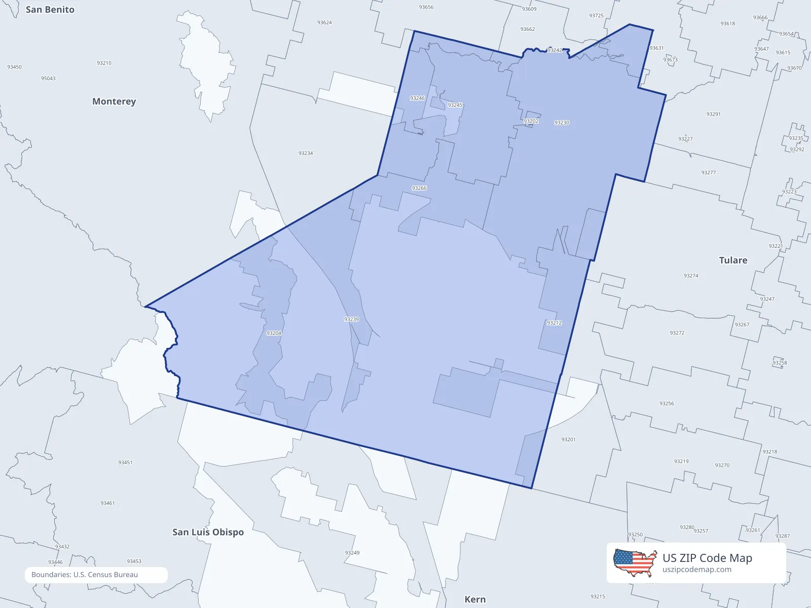
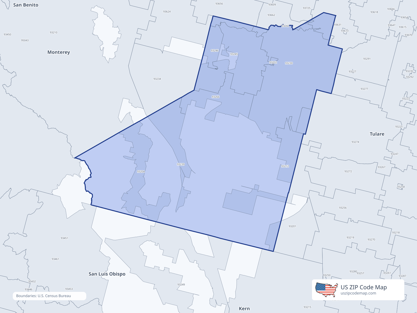
ZIP/ZCTA overlap with Kings County
Population overlap
Share of each ZIP/ZCTA’s population located within Kings County, based on ZIP Code Database county-overlap data. This is a population measure, not land-area overlap or the Census county population.
- 932010.0%
- 93202100.0%
Directory county
- 93204100.0%
Directory county
- 9321299.5%
Directory county
- 93230100.0%
Directory county
- 93239100.0%
Directory county
- 932428.7%
- 93245100.0%
Directory county
- 93246100.0%
Directory county
- 93266100.0%
Directory county
- 932740.0%
- 936313.8%
- 936566.1%
ZIP Code Database county-overlap table, field percent_of_zip_population_in_county, keyed by county_geoid. Not ACS 2019–2023. Overlap vintage is the shipped overlap table and is separate from ACS. Methodology
ZIP codes intersecting Kings County
| ZIP | City | County | Population | Income |
|---|---|---|---|---|
| 93201 | Alpaugh | Tulare County | 1,146 | $51,181 |
| 93202 | Armona | Kings County | 4,014 | $60,450 |
| 93204 | Avenal | Kings County | 13,441 | $52,986 |
| 93212 | Corcoran | Kings County | 23,407 | $54,149 |
| 93230 | Hanford | Kings County | 69,130 | $73,558 |
| 93239 | Kettleman City | Kings County | 1,349 | $48,781 |
| 93242 | Laton | Fresno County | 2,611 | $61,250 |
| 93245 | Lemoore | Kings County | 37,443 | $78,181 |
| 93246 | Lemoore | Kings County | 1,024 | — |
| 93266 | Stratford | Kings County | 1,672 | $60,888 |
| 93274 | Tulare | Tulare County | 79,154 | $69,905 |
| 93631 | Kingsburg | Fresno County | 16,656 | $81,226 |
| 93656 | Riverdale | Fresno County | 6,224 | $64,481 |
USPS associates these ZIPs with Kings County
These codes list Kings County as a primary or acceptable city. They are not used for the ACS headline.
| ZIP | City | County | Population | Income |
|---|---|---|---|---|
| 93232 | Hanford | Kings County | 1,588 | — |