
County · GEOID 06057
Nevada County, CA ZIP codes
12 ZIP/ZCTAs intersecting this county.
U.S. Census Bureau, ACS 2019–2023 5-year (vintage 2023). Geography: County Nevada County (GEOID 06057). Methodology
Combined population of ZIP/ZCTAs intersecting this county: 118,974 (12 ZIPs).
Combined population of ZIP/ZCTAs intersecting this county. Each intersecting ZIP contributes its full ZCTA population; overlap percents are descriptive only. This is not the Census county ACS headline above. Methodology
Nevada County, CA ZIP code map
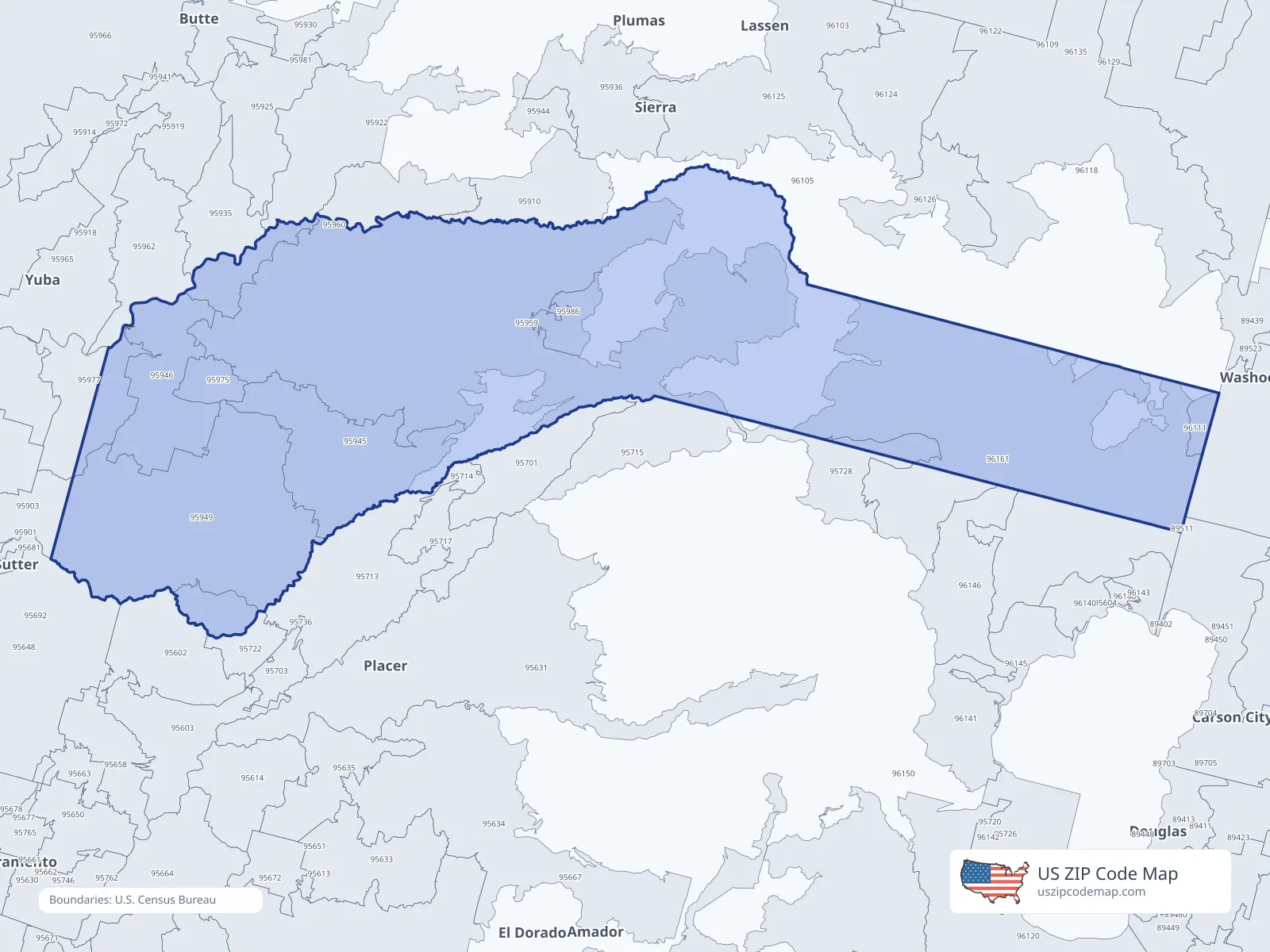
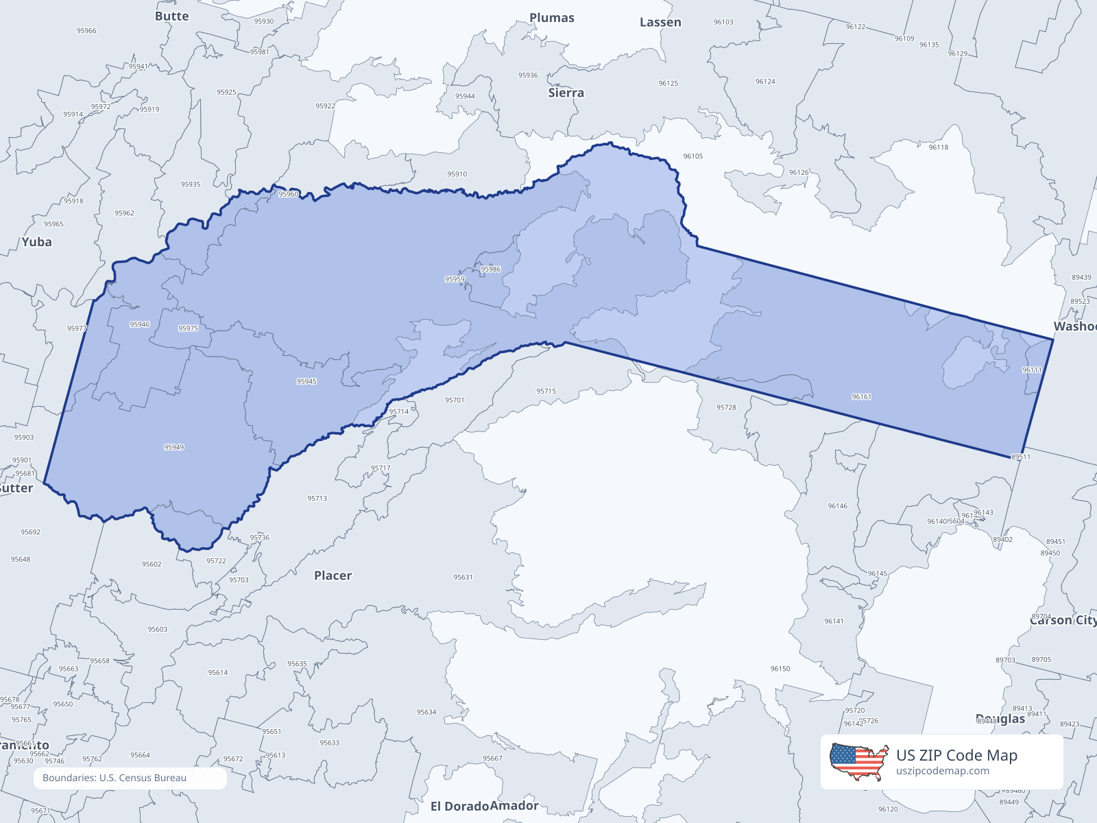
ZIP/ZCTA overlap with Nevada County
Population overlap
Share of each ZIP/ZCTA’s population located within Nevada County, based on ZIP Code Database county-overlap data. This is a population measure, not land-area overlap or the Census county population.
- 9560230.6%
- 9572830.6%
- 95945100.0%
Directory county
- 95946100.0%
Directory county
- 95949100.0%
Directory county
- 95959100.0%
Directory county
- 9596071.3%
Directory county
- 95975100.0%
Directory county
- 9597758.8%
Directory county
- 95986100.0%
Directory county
- 96111100.0%
Directory county
- 9616188.2%
Directory county
ZIP Code Database county-overlap table, field percent_of_zip_population_in_county, keyed by county_geoid. Not ACS 2019–2023. Overlap vintage is the shipped overlap table and is separate from ACS. Methodology
ZIP codes intersecting Nevada County
| ZIP | City | County | Population | Income |
|---|---|---|---|---|
| 95602 | Auburn | Placer County | 19,248 | $102,063 |
| 95728 | Soda Springs | Placer County | 593 | $113,224 |
| 95945 | Grass Valley | Nevada County | 27,675 | $61,068 |
| 95946 | Penn Valley | Nevada County | 9,448 | $84,700 |
| 95949 | Grass Valley | Nevada County | 20,709 | $90,309 |
| 95959 | Nevada City | Nevada County | 18,017 | $79,509 |
| 95960 | North San Juan | Nevada County | 568 | $40,099 |
| 95975 | Rough And Ready | Nevada County | 1,615 | $74,954 |
| 95977 | Smartsville | Nevada County | 1,738 | $100,909 |
| 95986 | Washington | Nevada County | 110 | — |
| 96111 | Floriston | Nevada County | 22 | — |
| 96161 | Truckee | Nevada County | 19,231 | $128,535 |
USPS associates these ZIPs with Nevada County
These codes list Nevada County as a primary or acceptable city. They are not used for the ACS headline.
| ZIP | City | County | Population | Income |
|---|---|---|---|---|
| 95712 | Chicago Park | Nevada County | 651 | — |
| 95924 | Cedar Ridge | Nevada County | 1,504 | — |
| 96160 | Truckee | Nevada County | 4,506 | — |