
County · GEOID 17109
McDonough County, IL ZIP codes
17 ZIP/ZCTAs intersecting this county.
U.S. Census Bureau, ACS 2019–2023 5-year (vintage 2023). Geography: County McDonough County (GEOID 17109). Methodology
Combined population of ZIP/ZCTAs intersecting this county: 31,307 (17 ZIPs).
Combined population of ZIP/ZCTAs intersecting this county. Each intersecting ZIP contributes its full ZCTA population; overlap percents are descriptive only. This is not the Census county ACS headline above. Methodology
McDonough County, IL ZIP code map
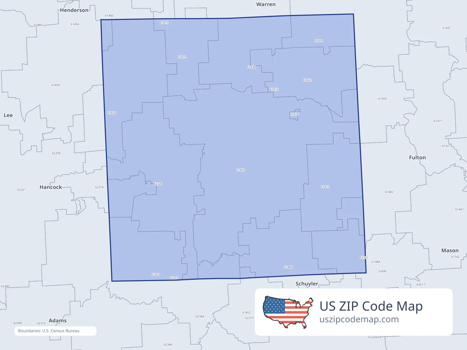
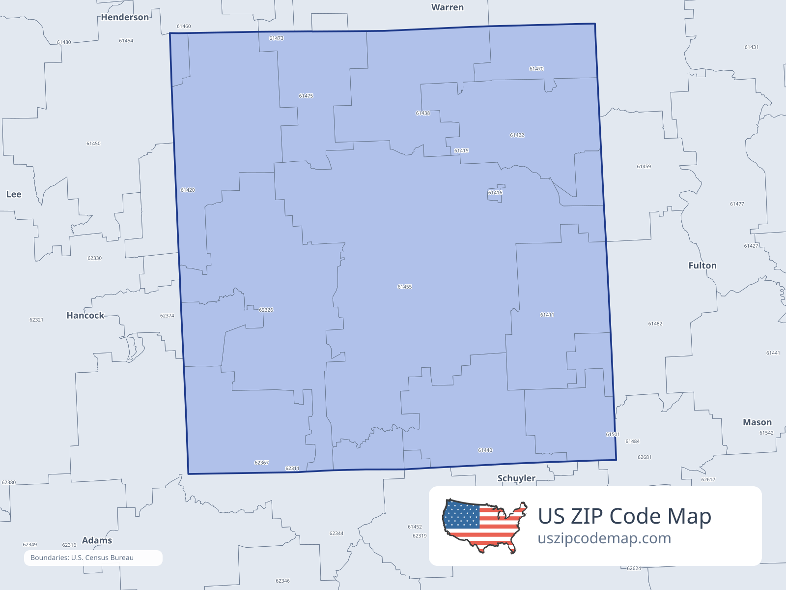
ZIP/ZCTA overlap with McDonough County
Population overlap
Share of each ZIP/ZCTA’s population located within McDonough County, based on ZIP Code Database county-overlap data. This is a population measure, not land-area overlap or the Census county population.
- 61411100.0%
Directory county
- 61416100.0%
Directory county
- 6142091.8%
Directory county
- 61422100.0%
Directory county
- 61438100.0%
Directory county
- 6144095.2%
Directory county
- 614500.6%
- 614524.2%
- 61455100.0%
Directory county
- 6145925.0%
- 61470100.0%
Directory county
- 6147586.6%
Directory county
- 614825.4%
- 614849.3%
- 6232698.6%
Directory county
- 6236735.5%
- 6237471.2%
Directory county
ZIP Code Database county-overlap table, field percent_of_zip_population_in_county, keyed by county_geoid. Not ACS 2019–2023. Overlap vintage is the shipped overlap table and is separate from ACS. Methodology
ZIP codes intersecting McDonough County
| ZIP | City | County | Population | Income |
|---|---|---|---|---|
| 61411 | Adair | McDonough County | 264 | $91,042 |
| 61416 | Bardolph | McDonough County | 226 | $26,111 |
| 61420 | Blandinsville | McDonough County | 1,034 | $61,375 |
| 61422 | Bushnell | McDonough County | 3,045 | $62,768 |
| 61438 | Good Hope | McDonough County | 702 | $65,703 |
| 61440 | Industry | McDonough County | 734 | $64,000 |
| 61450 | La Harpe | Hancock County | 1,617 | $66,071 |
| 61452 | Littleton | Schuyler County | 167 | — |
| 61455 | Macomb | McDonough County | 17,511 | $45,048 |
| 61459 | Marietta | Fulton County | 290 | $51,250 |
| 61470 | Prairie City | McDonough County | 509 | $38,750 |
| 61475 | Sciota | McDonough County | 211 | $59,135 |
| 61482 | Table Grove | Fulton County | 518 | $67,083 |
| 61484 | Vermont | Fulton County | 671 | $46,923 |
| 62326 | Colchester | McDonough County | 2,317 | $65,048 |
| 62367 | Plymouth | Hancock County | 1,268 | $51,346 |
| 62374 | Tennessee | McDonough County | 223 | $54,805 |