
County · GEOID 48089
Colorado County, TX ZIP codes
18 ZIP/ZCTAs intersecting this county.
U.S. Census Bureau, ACS 2019–2023 5-year (vintage 2023). Geography: County Colorado County (GEOID 48089). Methodology
Combined population of ZIP/ZCTAs intersecting this county: 53,944 (18 ZIPs).
Combined population of ZIP/ZCTAs intersecting this county. Each intersecting ZIP contributes its full ZCTA population; overlap percents are descriptive only. This is not the Census county ACS headline above. Methodology
Colorado County, TX ZIP code map
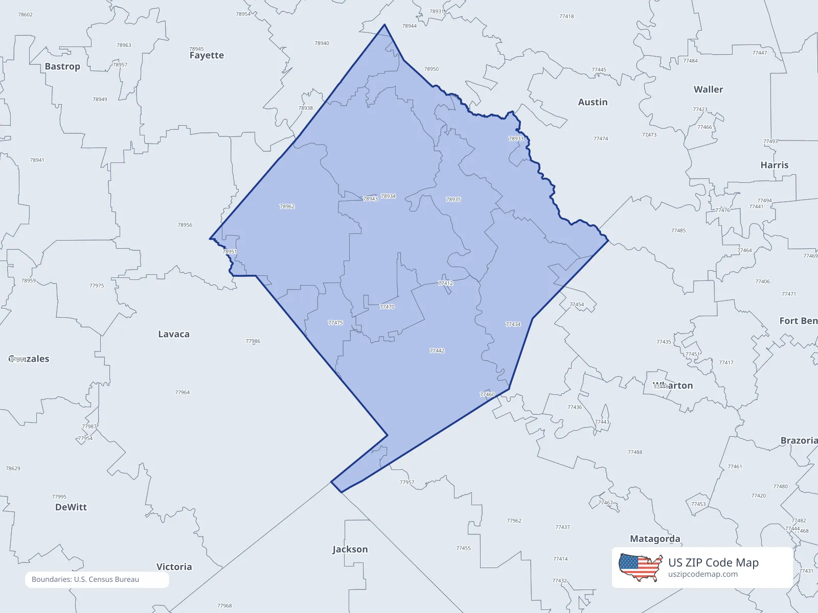
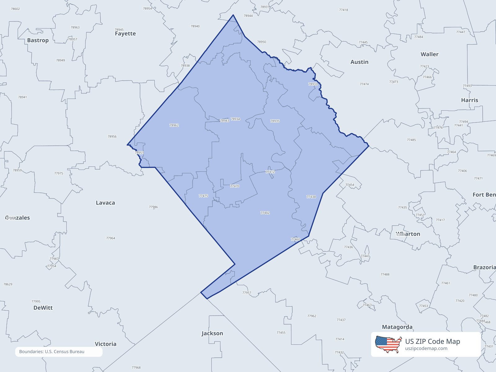
ZIP/ZCTA overlap with Colorado County
Population overlap
Share of each ZIP/ZCTA’s population located within Colorado County, based on ZIP Code Database county-overlap data. This is a population measure, not land-area overlap or the Census county population.
- 77412100.0%
Directory county
- 7743491.7%
Directory county
- 774350.4%
- 77442100.0%
Directory county
- 774550.3%
- 77460100.0%
Directory county
- 77470100.0%
Directory county
- 774740.4%
- 77475100.0%
Directory county
- 779640.3%
- 7893349.4%
- 78934100.0%
Directory county
- 78935100.0%
Directory county
- 7894010.5%
- 78943100.0%
Directory county
- 7895036.7%
- 78951100.0%
Directory county
- 7896290.6%
Directory county
ZIP Code Database county-overlap table, field percent_of_zip_population_in_county, keyed by county_geoid. Not ACS 2019–2023. Overlap vintage is the shipped overlap table and is separate from ACS. Methodology
ZIP codes intersecting Colorado County
| ZIP | City | County | Population | Income |
|---|---|---|---|---|
| 77412 | Altair | Colorado County | 10 | — |
| 77434 | Eagle Lake | Colorado County | 4,037 | $71,964 |
| 77435 | East Bernard | Wharton County | 4,376 | $63,702 |
| 77442 | Garwood | Colorado County | 1,434 | $65,761 |
| 77455 | Louise | Wharton County | 1,593 | $58,601 |
| 77460 | Nada | Colorado County | 96 | — |
| 77470 | Rock Island | Colorado County | 381 | $38,977 |
| 77474 | Sealy | Austin County | 14,846 | $76,210 |
| 77475 | Sheridan | Colorado County | 413 | $60,528 |
| 77964 | Hallettsville | Lavaca County | 8,061 | $63,500 |
| 78933 | Cat Spring | Austin County | 1,211 | $76,583 |
| 78934 | Columbus | Colorado County | 6,833 | $66,177 |
| 78935 | Alleyton | Colorado County | 650 | — |
| 78940 | Fayetteville | Fayette County | 2,284 | $90,431 |
| 78943 | Glidden | Colorado County | 230 | $71,181 |
| 78950 | New Ulm | Austin County | 2,244 | $104,643 |
| 78951 | Oakland | Colorado County | 0 | — |
| 78962 | Weimar | Colorado County | 5,245 | $74,577 |