
County · GEOID 48399
Runnels County, TX ZIP codes
11 ZIP/ZCTAs intersecting this county.
U.S. Census Bureau, ACS 2019–2023 5-year (vintage 2023). Geography: County Runnels County (GEOID 48399). Methodology
Combined population of ZIP/ZCTAs intersecting this county: 13,068 (11 ZIPs).
Combined population of ZIP/ZCTAs intersecting this county. Each intersecting ZIP contributes its full ZCTA population; overlap percents are descriptive only. This is not the Census county ACS headline above. Methodology
Runnels County, TX ZIP code map
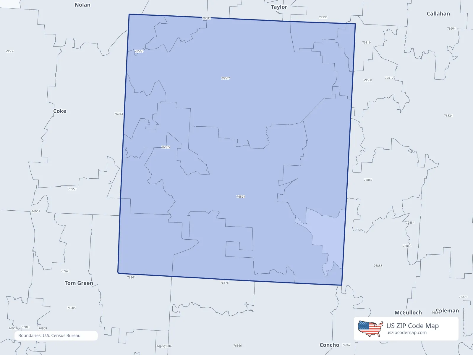
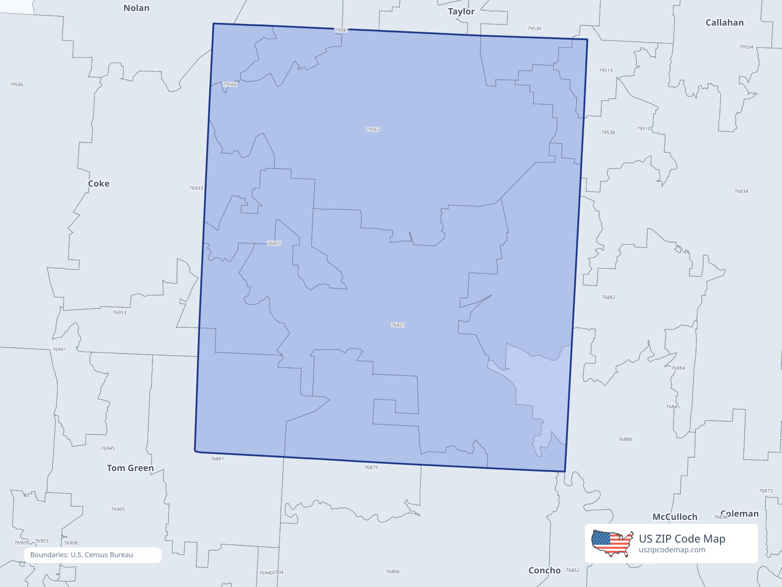
ZIP/ZCTA overlap with Runnels County
Population overlap
Share of each ZIP/ZCTA’s population located within Runnels County, based on ZIP Code Database county-overlap data. This is a population measure, not land-area overlap or the Census county population.
- 76821100.0%
Directory county
- 7686153.4%
Directory county
- 76865100.0%
Directory county
- 7687592.5%
Directory county
- 7688228.8%
- 769337.9%
- 7951938.6%
- 795304.9%
- 7953818.9%
- 7956642.9%
- 7956798.7%
Directory county
ZIP Code Database county-overlap table, field percent_of_zip_population_in_county, keyed by county_geoid. Not ACS 2019–2023. Overlap vintage is the shipped overlap table and is separate from ACS. Methodology
ZIP codes intersecting Runnels County
| ZIP | City | County | Population | Income |
|---|---|---|---|---|
| 76821 | Ballinger | Runnels County | 4,572 | $65,250 |
| 76861 | Miles | Runnels County | 2,145 | $86,125 |
| 76865 | Norton | Runnels County | 237 | $57,109 |
| 76875 | Rowena | Runnels County | 498 | $57,361 |
| 76882 | Talpa | Coleman County | 266 | $59,539 |
| 76933 | Bronte | Coke County | 1,467 | $62,548 |
| 79519 | Goldsboro | Coleman County | 101 | $157,548 |
| 79530 | Lawn | Taylor County | 436 | $68,021 |
| 79538 | Novice | Coleman County | 227 | — |
| 79566 | Wingate | Taylor County | 195 | $112,891 |
| 79567 | Winters | Runnels County | 2,924 | $49,663 |