
County · GEOID 48415
Scurry County, TX ZIP codes
8 ZIP/ZCTAs intersecting this county.
U.S. Census Bureau, ACS 2019–2023 5-year (vintage 2023). Geography: County Scurry County (GEOID 48415). Methodology
Combined population of ZIP/ZCTAs intersecting this county: 28,902 (8 ZIPs).
Combined population of ZIP/ZCTAs intersecting this county. Each intersecting ZIP contributes its full ZCTA population; overlap percents are descriptive only. This is not the Census county ACS headline above. Methodology
Scurry County, TX ZIP code map
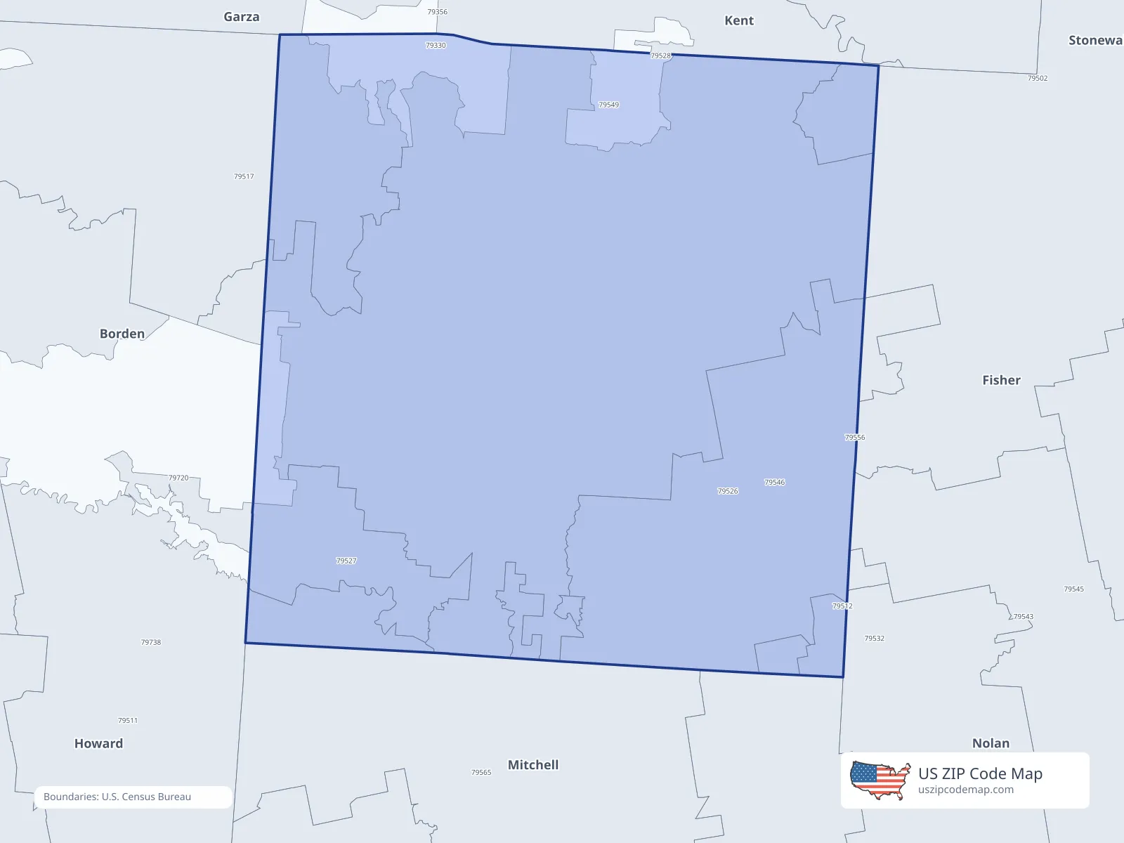
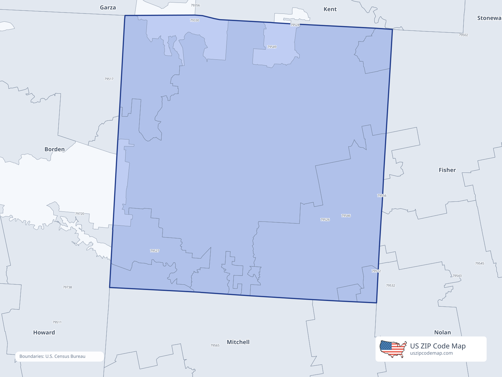
ZIP/ZCTA overlap with Scurry County
Population overlap
Share of each ZIP/ZCTA’s population located within Scurry County, based on ZIP Code Database county-overlap data. This is a population measure, not land-area overlap or the Census county population.
- 795120.2%
- 7951762.3%
Directory county
- 7952696.2%
Directory county
- 7952790.6%
Directory county
- 795320.6%
- 795451.0%
- 795460.8%
- 7954999.6%
Directory county
ZIP Code Database county-overlap table, field percent_of_zip_population_in_county, keyed by county_geoid. Not ACS 2019–2023. Overlap vintage is the shipped overlap table and is separate from ACS. Methodology
ZIP codes intersecting Scurry County
| ZIP | City | County | Population | Income |
|---|---|---|---|---|
| 79512 | Colorado City | Mitchell County | 7,672 | $55,855 |
| 79517 | Fluvanna | Scurry County | 114 | $66,339 |
| 79526 | Hermleigh | Scurry County | 978 | $71,818 |
| 79527 | Ira | Scurry County | 179 | $83,125 |
| 79532 | Loraine | Mitchell County | 1,014 | $43,393 |
| 79545 | Roscoe | Nolan County | 1,778 | $55,667 |
| 79546 | Rotan | Fisher County | 1,662 | $57,171 |
| 79549 | Snyder | Scurry County | 15,505 | $59,559 |
USPS associates these ZIPs with Scurry County
These codes list Scurry County as a primary or acceptable city. They are not used for the ACS headline.
| ZIP | City | County | Population | Income |
|---|---|---|---|---|
| 79516 | Dunn | Scurry County | 23 | — |
| 79550 | Snyder | Scurry County | 1,029 | — |